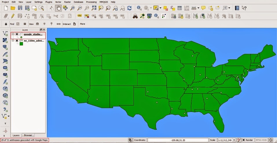
The following tutorial will review the process of calculating
the distance between multiple data points in QGIS utilizing the Hub Distance
analysis with the MMQGIS plugin.
QGIS Tutorial
Monday, December 15, 2014
Wednesday, August 20, 2014
How to geocode points in QGIS with Google Maps and OpenStreetMap
The following tutorial will review the process of geocoding data points in QGIS with GoogleMap and OpenStreetMap through the MMQGIS plugin.


Subscribe to:
Posts (Atom)
